DRONE & LIDAR SURVEY

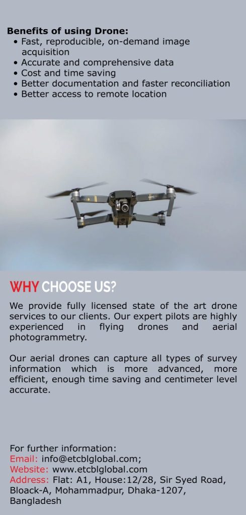
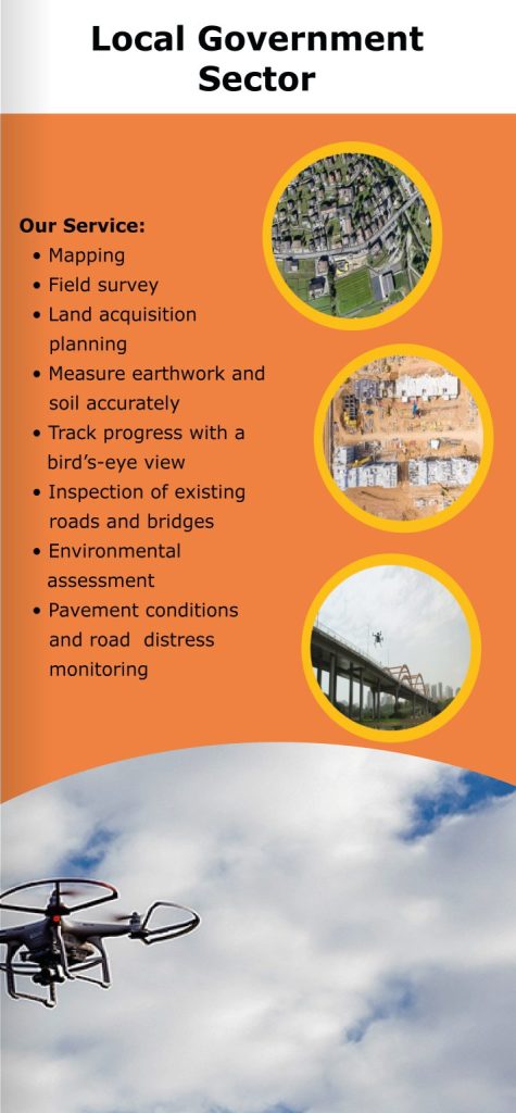
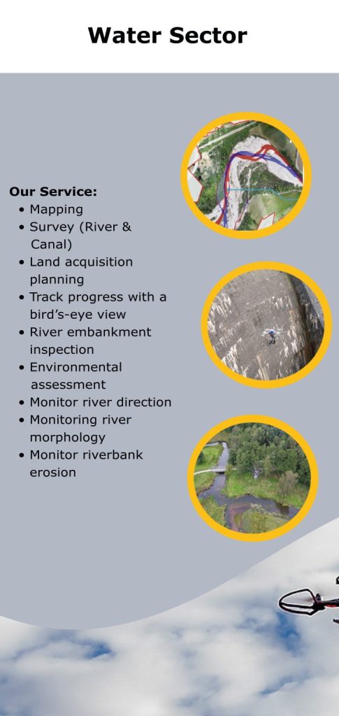
We provide fully licensed state of the art drone services to our clients. Our expert pilots are highly experienced in flying drones and aerial photogrammetry.

Our aerial drones can capture all types of survey information which is more advanced, more efficient, enough time saving and centimeter level accurate.

      Power Sector

  • Corridor Mapping of Power Line Networks
  • Aerial Transmission Line Surveys
  • Land Acquisition Planning
  • Lidar Survey (Upcoming)
  • Power Line Inspection
  • Substation Static Line Inspection
  • HD Video and High Resolution Photography

     Water Sector

  • Mapping
  • Survey (River & Canal)
  • Land Acquisition Planning
  • Track Progress With A Bird’s-Eye View
  • River Embankment Inspection
  • Environmental Assessment
  • Monitor River Direction
  • Monitoring River Morphology
  • Monitor Riverbank Erosion

      Local Government Sector

  • Mapping
  • Field Survey
  • Land Acquisition Planning
  • Measure Earthwork and Soil Accurately
  • Track Progress with A Bird’s-Eye View
  • Inspection Of Existing Roads and Bridges
  • Environmental Assessment
  • Pavement Conditions and Road Distress
    Monitoring

       Railway, Roads and Highway Sector

  • Route Survey
  • CorridorMapping
  • Land Acquisition Planning
  • Measure Earthwork and Soil Accurately
  • Trackprogress with a bird’s-eyeview
  • BasicTrackComponentry Inspection
  •  ComplexTrackComponentry inspection
  • Monitoring& Maintenance

      Telecommunication Sector

  • Tower Inspection
  • Fault Locating
  • Detect Assembly Errors
  • Monitoring Vegetation Overgrowth
  • Track Progress with a bird’s-eye view
  • Object Detection
  • Aerial Videography